GOES-East Satellite: How It Tracks U.S. Weather, Hurricanes and Storms
Understand how the current GOES-East weather satellite watches the United States and nearby storm-forming regions from geostationary orbit.
The GOES-East satellite position is one of the most important weather-satellite viewpoints for the United States. In 2026, NOAA’s GOES-East imagery is provided by GOES-19. From geostationary orbit, it continuously watches the continental United States and surrounding regions where hurricanes, severe storms and other weather systems develop. You can explore related spacecraft in the SpaceTracker.live GOES satellite tracker.
GOES-East is best understood as a persistent observing platform rather than simply a dot over the equator. Its geostationary position allows repeated imaging of the same broad region, which is why NOAA can use it to follow rapidly changing weather systems through time.
What is GOES-East?
“GOES-East” is an operational position and service role in NOAA’s Geostationary Operational Environmental Satellites system, not a permanent spacecraft name. As of 2026, GOES-19 is serving in the GOES-East role. NOAA’s imagery service identifies GOES-19 as the source for current GOES-East products.
What parts of the United States does GOES-East monitor?
GOES-East provides a continuous view that supports coverage of the continental United States as well as the Atlantic, Caribbean, Gulf of Mexico and other adjacent regions. NOAA publishes dedicated CONUS, regional and full-disk imagery products from the GOES-East viewpoint.
How GOES-East helps track hurricanes
Atlantic hurricanes develop and evolve over large areas where frequent satellite observations are essential. Geostationary imaging lets forecasters watch cloud structure, moisture patterns and storm evolution repeatedly without waiting for a polar-orbiting satellite to return on another pass. The satellite data is one part of a much larger forecasting system that also includes radar, aircraft, surface observations and numerical models.
GOES-East versus GOES-West
The two operational viewpoints are designed to provide complementary coverage. GOES-East focuses on the eastern United States, Atlantic and nearby regions, while GOES-West provides a western viewpoint that is especially valuable for the Pacific and western U.S. weather picture. Together they give meteorologists a much broader continuous view.
Can you see GOES-East with the naked eye?
No practical naked-eye experience should be expected. GOES spacecraft are far more distant than the ISS because geostationary orbit is roughly 35,786 km above the equator. Their importance comes from remote sensing, not casual visual observing.
Track the spacecraft, then view the weather products
A satellite tracker helps you understand where the spacecraft is in orbit and why it appears fixed. NOAA’s official imagery products are the right place to inspect the meteorological data itself. SpaceTracker.live focuses on the orbital-tracking side, while NOAA provides the operational imagery and products used for weather analysis.
Why geostationary altitude is special
A spacecraft near the geostationary altitude of about 35,786 kilometres above the equator takes roughly one sidereal day to complete an orbit. If the orbit is also close to circular and equatorial, its eastward motion matches Earth’s rotation closely enough that it stays near the same longitude from a ground observer’s point of view.
That geometry lets ground systems keep antennas pointed toward a stable region of the sky and lets imagers repeatedly observe the same broad area. Small north-south or east-west motions can still appear because real spacecraft require station-keeping and their orbits are not mathematically perfect.
GOES-East is an operational role
The GOES-East label describes a position and observing responsibility within the system. The spacecraft serving that role can change over the programme's history. This is why older articles and images may name a different satellite from the one currently assigned. Use NOAA's current information to connect the operational role with the correct spacecraft rather than assuming a familiar name remains permanent.
For tracking, keep the catalog identity separate from the role name. A page can describe GOES-East generally while allowing selection of a specific spacecraft. Confirm the title and identifier before interpreting its marker. This avoids comparing a historical article about one vehicle with a live map of another. The weather service remains continuous as a programme, but the satellites and their assignments have their own histories.
A fixed-looking marker can still represent an orbit
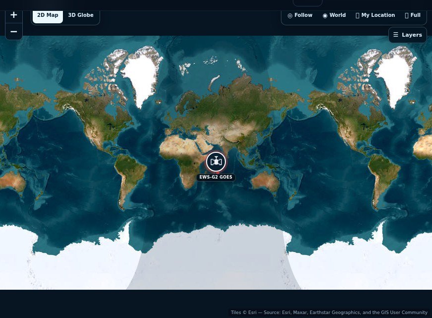
A geostationary satellite is moving around Earth even though its direction from a ground site stays approximately fixed. It completes the appropriate orbital cycle as Earth rotates beneath it. The stationary appearance is a relationship between those motions, not proof that the spacecraft is hanging motionless above the atmosphere.
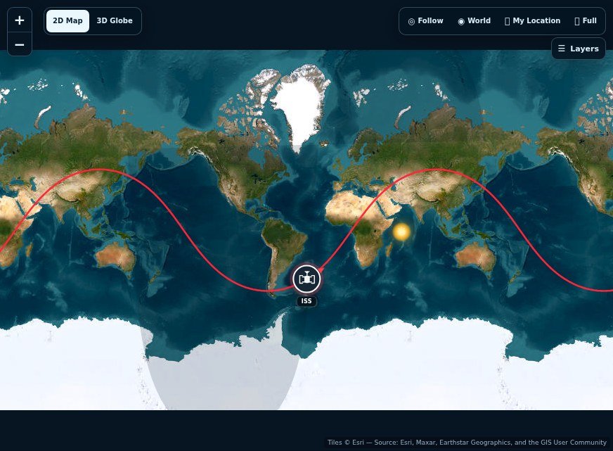
Small orbital variations and station-keeping mean an actual ground track need not be a perfectly immobile point. The scale of a map can exaggerate these changes, so read numerical values rather than interpreting the marker's pixel movement as a weather event. A geostationary tracker also has different local geometry from an ISS pass. Do not expect a rapid rise, high crossing and set sequence simply because both platforms appear in the satellite directory.
Image time belongs to the instrument product
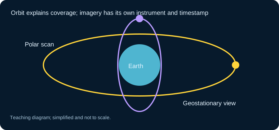
An official GOES image has an acquisition and processing context. A loop combines multiple observations into a time sequence. The map underneath a tracker marker has its own tile sources and may contain imagery assembled from different dates. Those two products should never be treated as a synchronized pair merely because they both involve satellites.
When examining a storm, read the product's region, band and timestamp. Visible imagery can show cloud structure in sunlight, while infrared products communicate different measurements and can be useful when the region is dark. A colour enhancement is chosen to reveal information; it is not necessarily a natural-colour photograph. The official product description is the right place to interpret what each shade means.
Use the tracker and imagery side by side
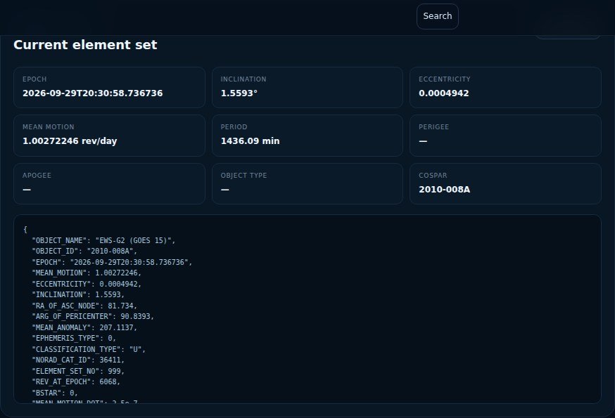
Begin with the tracker to understand the spacecraft's orbital position and its broad view of Earth. Then open an official NOAA imagery product covering the region you want to study. Note the observation time before comparing frames. This sequence turns the tracker into useful context without asking it to replace the weather instrument.
For an educational storm comparison, choose two frames from the same product and region. Look at changing cloud patterns while keeping their time interval clear. Avoid drawing a forecast from a single frame or an unlabelled social-media picture. The interesting connection is how a continuously available viewpoint supports repeated observations. NOAA's meteorological products and forecasts provide the weather interpretation, while the orbital page explains the platform that makes the observations possible.
Frequently asked questions
Is GOES-East the same satellite forever?
No. GOES-East is an operational role. NOAA can assign a different GOES spacecraft to that position as missions change.
Which satellite is GOES-East in 2026?
NOAA’s current GOES-East imagery identifies GOES-19 as the operational source.
Does GOES-East move?
Yes, it is orbiting Earth continuously. It only appears nearly fixed to a ground observer because its geostationary orbital period matches Earth’s rotation.
Does GOES-East track hurricanes only?
No. Its observations support monitoring of many weather and environmental phenomena, including severe storms, clouds, moisture and other rapidly changing conditions.