GPS Satellite Geometry: Why Sky Spread Affects Accuracy
Your receiver needs more than strong signals: the directions of visible GPS satellites also affect the quality of a position fix.
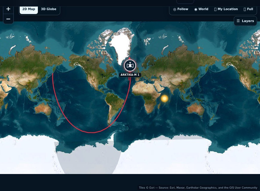
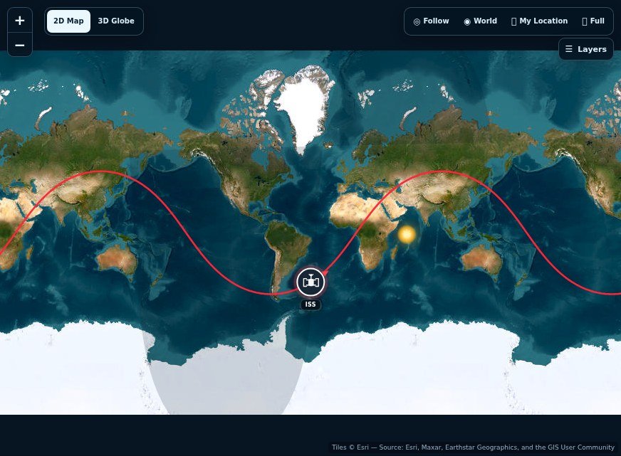
To understand GPS geometry, look at how navigation satellites are spread across the sky from one observer position. A wider distribution generally gives a receiver better geometric leverage than a tight cluster. GPS.gov provides the positioning background; the tracker makes that changing sky pattern easier to visualise.
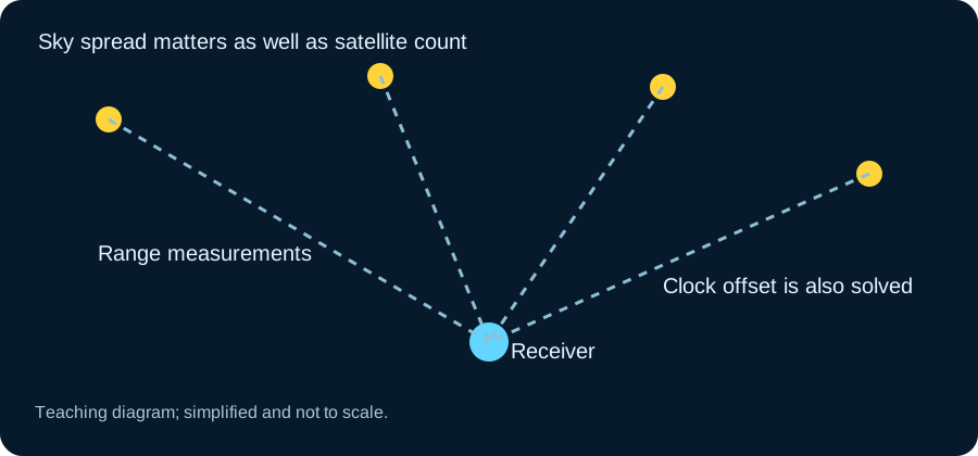
A receiver measures ranges
GPS satellites broadcast precise timing and orbital information. A receiver compares signal travel times to estimate ranges, then solves for its position and clock offset. In ordinary three-dimensional use, signals from at least four satellites are needed to solve those unknowns robustly, with additional satellites helping reliability.
Signal accuracy is not phone accuracy
Official GPS performance statements describe the signal in space, but a user’s result also depends on geometry, atmospheric delay, blockage, reflections and receiver design. A phone beside a tall building may show a wandering position even while the satellites themselves are operating within specification.
Why high elevation often helps
Signals from low on the horizon travel through more atmosphere and are more vulnerable to blockage and reflections. High satellites can be cleaner, yet a receiver benefits from directional diversity rather than selecting only objects near the zenith. Good positioning is a balance of signal quality and geometry.
What a constellation tracker can show
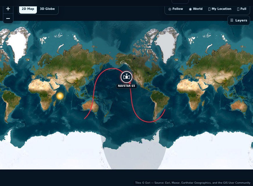
Browse the GPS directory and select several satellites to appreciate that the system is distributed around Earth. The tracker is educational, not a replacement for receiver diagnostics or certified navigation. Its value is visual: your location is solved from multiple moving transmitters, not from one satellite hovering above you.
Buildings can create both blockage and reflections
In a street lined with tall buildings, some direct satellite signals may be blocked. Others can arrive after reflecting from nearby surfaces. Those reflected paths are longer than the direct path the receiver is trying to measure. The result can wander even when many satellites appear in a catalog's above-horizon list. Being geometrically available does not mean that every signal reaches your antenna cleanly.
Move into a more open area if you want to make a practical comparison. Keep the device orientation and waiting time reasonably consistent, and note whether the displayed location becomes steadier. Do not interpret one brief change as a controlled accuracy test. Phones can combine satellite navigation with other sensors and networks. The useful lesson is that the local environment matters; a constellation's global availability cannot eliminate every obstruction and reflected signal at street level.
DOP is a multiplier, not a distance reading
Dilution of precision describes how the satellite arrangement amplifies range-measurement errors in a position solution. It is not itself a metre value. A low DOP with poor measurements does not guarantee an excellent position, and a higher DOP does not state exactly how many metres your phone will be wrong. Both geometry and measurement quality contribute to the outcome.
Horizontal and vertical uncertainty can also differ. The available satellites are above the observer, which gives the vertical problem a different geometry from the horizontal one. For a real receiver assessment, use its reported diagnostics and understand what they mean. The tracker is most useful as a visual explanation of changing sky coverage. It should not manufacture a device accuracy estimate from the number of satellites drawn on a map.
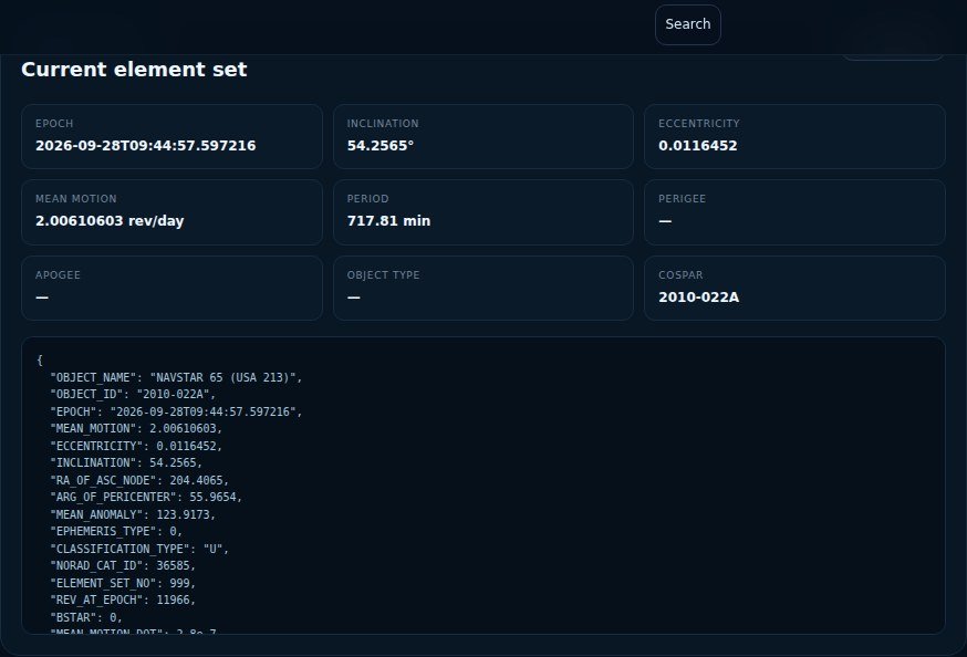
Relate the orbit map to a sky view
Choose several GPS spacecraft and compare their local azimuths and elevations at the same time. Imagine the directions as a pattern across a dome above you. A world map tells you where their ground projections lie, but that sky pattern is closer to the geometry involved in your receiver's measurements. Check again later to see how the arrangement evolves.
For an educational exercise, keep the observer location fixed and note how directions change rather than claiming a measured accuracy improvement. Multi-constellation receivers may use additional navigation systems, so a GPS-only picture is not a complete description of a modern phone's available signals. This comparison helps explain a familiar experience: the location marker can behave differently in an open field and between buildings even though the same global navigation infrastructure is operating overhead.
A practical thought experiment: open sky versus an urban street
Imagine carrying the same receiver from a clear open area into a street between tall buildings. The satellites have not suddenly become less precise clocks, but the receiver may lose direct lines of sight. Reflected signals can arrive by longer paths, while the satellites still visible may cluster in an unfavourable part of the sky. A poorer position fix can result even though the broadcast navigation message has not changed.
This is why a map of spacecraft around Earth is only one layer of a navigation problem. A receiver needs the apparent directions of several usable signals, their timing, atmospheric corrections and a suitable measurement model. SpaceTracker's GPS pages show orbital context, not the raw measurements or quality indicators inside your phone. The accuracy of a consumer location reading therefore cannot be inferred from how many GPS dots appear on a global map.
What to record when GPS accuracy looks strange
Check whether your device was stationary or moving, whether tall structures or vegetation blocked the sky, and whether the result improved after you moved into an open area. When a device offers a reported uncertainty, treat it as an estimate rather than as the exact distance to the true position. A sudden improvement after stepping outside is often more informative than comparing satellite positions at two different times.
Also distinguish GPS from the broader collection of global navigation satellite systems. Many receivers can use signals from several constellations, including Galileo or BeiDou, where supported. The GPS tracker illustrates just one of those systems. For authoritative public documentation, consult GPS.gov, and keep positioning claims separate from a site's educational orbit visualisation.