
How to use the Live Planetarium
The Live Planetarium is an observer-centred sky map. The outside of the circular chart represents your local horizon and the centre represents the zenith, the point directly overhead. North, east, south and west are marked around the rim. An object close to the rim is low in the sky; an object close to the centre is high overhead. This is different from a geographic map and also different from the Solar System Live view, which shows planets in space around the Sun. The planetarium answers the practical question: “Where should I look from my location?”
For a first visit the site can show the default New York observer so the map is never empty. Select Change location to use your device location or search for your city. A location you choose is shared with the other SpaceTracker.live observer tools in the same browser. Latitude changes which part of the celestial sphere rises above your horizon, while longitude changes the local orientation of the sky at a given instant. That is why the same planet can be setting for one observer while still high in the sky for another.
Search, focus and move through time
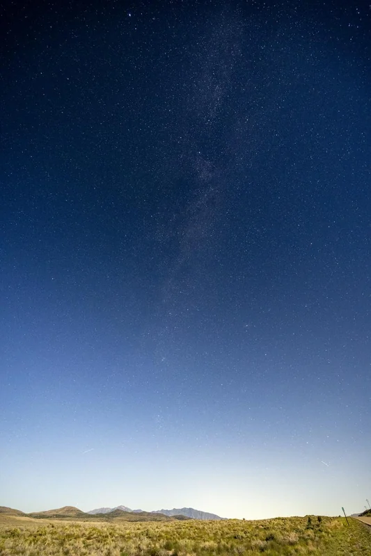
Use the search box for the Sun, Moon, Mercury through Neptune, named bright stars, familiar constellations and selected bright Earth-orbiting spacecraft. When a target is selected the map centres attention on it and the information card reports its altitude and azimuth. Altitude is measured upward from the horizon: 0° is on the horizon and 90° is directly overhead. Azimuth is the compass bearing measured clockwise from north. The details panel also shows right ascension and declination for catalog stars and calculated equatorial coordinates for Solar System objects when those values are available.
The time controls let you see how Earth’s rotation changes the view. Use −1h and +1h for quick comparisons, drag the twelve-hour timeline, or choose a specific date and time. Press Live to return to the present. Stars appear to sweep westward because Earth rotates eastward, while the Moon and planets also move gradually against the stellar background. This makes the planetarium useful for planning an observation before sunset or checking where a target will be later in the night.
What the star field represents
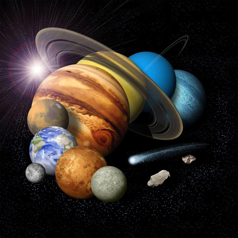
The background star field is based on a local Gaia DR3 subset already used by SpaceTracker.live. Brighter stars are drawn larger, while named guide stars receive labels when labels are enabled. The constellation layer connects selected well-known anchor stars to make patterns such as Orion, the Big Dipper region of Ursa Major, Cassiopeia and Cygnus easier to recognise. Constellation lines are observing guides rather than official IAU boundary polygons. If you want a list of constellations currently above your horizon, open Constellations Visible Tonight.
The ecliptic guide shows the approximate great-circle path followed by the Sun and near which the Moon and planets are normally found. It is especially useful when trying to distinguish a planet from a bright star. Venus, Jupiter and Mars can be strikingly bright, and planets usually twinkle less strongly than stars, but the most reliable identification is to compare direction, altitude and time with the calculated map rather than relying on brightness alone.
Satellites in the planetarium
The first planetarium version includes selected bright spacecraft such as the International Space Station, Tiangong and Hubble when fresh orbital elements are available. Their plotted positions are propagated from current orbital data and are relative to your observer location. A spacecraft being above the geometric horizon does not guarantee naked-eye visibility. It may be too faint, inside Earth’s shadow, hidden by clouds or low behind local buildings and terrain. Use ISS Visible Tonight or Satellite Pass Predictions for dedicated pass calculations.
Map controls on desktop and mobile
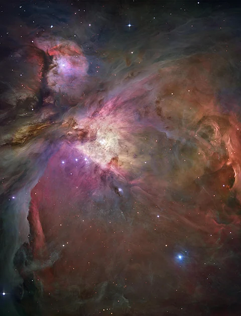
On desktop, use the mouse wheel to zoom and drag the map to reposition the sky inside the canvas. On touch devices, drag with one finger and pinch with two fingers. These gestures are confined to the planetarium canvas so they should not zoom the entire web page. Use Reset view whenever you want to return to the complete horizon view. The settings menu lets you reduce star density, hide labels, switch constellation and ecliptic guides, and enable a red night-vision appearance that is less disruptive after your eyes have adapted to darkness.
Compass mode is an optional mobile aid. When the browser provides an absolute device heading, the chart can rotate so the top of the map follows the direction the phone is facing. Phone compasses are vulnerable to magnetic interference from cases, vehicles, buildings and nearby electronics, so compass mode should be treated as a pointing convenience rather than a precision instrument. The Live Sky AR Camera is better suited when you specifically want a camera overlay.
Accuracy and observing limits
Planetary and lunar positions are calculated with the astronomy engine in the browser for the selected instant and observer. Named star positions come from catalog coordinates, while the dense background is a Gaia-based visual layer. Satellite accuracy depends on the freshness of the orbital elements and degrades as those elements age. The planetarium does not model your exact local skyline, trees, mountains, buildings, haze or cloud cover. For weather-aware planning use Best Time to Stargaze Tonight.
The map can still show an object during daylight or twilight because astronomical position and naked-eye visibility are different questions. The Sun is included for geometric context, but never look directly at the Sun through binoculars, a telescope, a camera optical viewfinder or any magnifying instrument without a properly certified solar filter designed for that instrument.
Planetarium versus dedicated SpaceTracker tools
Use the planetarium when you want one visual map that connects many kinds of objects. Use dedicated pages when you need deeper calculations: Moon Live Tracker for lunar phase and rise/set information, Planets Visible Tonight for observing windows, Comets Visible Tonight for current comet candidates, Asteroids Visible Tonight for small-body observing tools, and the satellite trackers for live orbital data. The goal is to make the planetarium the visual hub that connects those specialised tools without replacing them.