Where to Look for Satellites: Azimuth and Elevation
Turn tracker angles into simple directions so you know where to face and how high to look for a satellite tonight.
If you are trying to work out where to look for satellites tonight, a tracker may tell you that a pass begins at azimuth 245° and reaches 38° elevation. Those numbers are precise, but they are not useful until you can translate them into a direction in the real sky. Azimuth tells you where to turn around the horizon; elevation tells you how high to look.
Before using the numbers in a pass table, confirm the observer location and the exact pass time. Then read azimuth as a compass bearing and elevation as height above your horizon. NASA’s station-viewing guidance is useful for the observing context; the local pass tool supplies the location-specific geometry.
Azimuth: which direction should you face?
Azimuth is measured clockwise from north. The four main reference points are simple: 0° = north, 90° = east, 180° = south and 270° = west. Values between them describe intermediate directions. For example, 225° points southwest, while 315° points northwest.
Elevation: how high above the horizon?
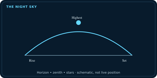
Elevation is measured upward from the horizon. 0° is directly on the horizon, 45° is halfway between the horizon and straight overhead, and 90° is directly overhead. A satellite at 15° elevation will appear relatively low; one at 70° will be high in the sky.
How to use both numbers together
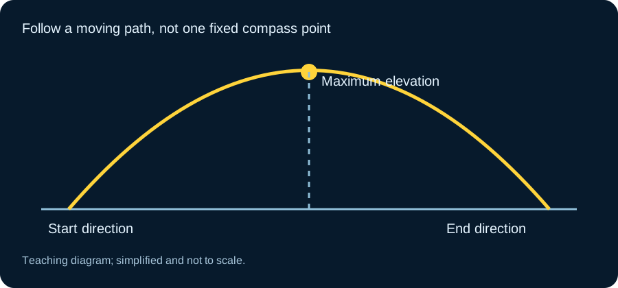
Suppose your tracker says the satellite appears at azimuth 250° and reaches a maximum elevation of 52°. Face roughly west-southwest for the beginning of the pass, then follow the object upward as it moves. The azimuth changes continuously during the pass, so treat the initial value as a starting direction, not a fixed point.
Use your phone compass carefully
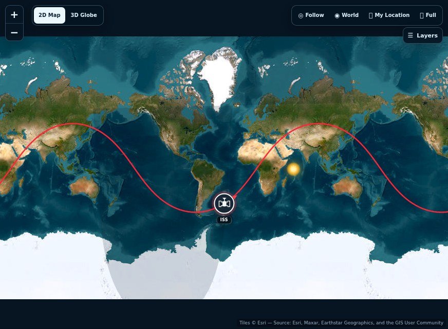
A phone compass can help with azimuth, but nearby metal, vehicles and electronics can disturb the reading. If the direction seems obviously wrong, step away from large metal objects and recalibrate the compass. Once you know the broad direction, your eyes are often better than obsessing over a one-degree compass difference.
Why low elevations are harder
Near the horizon you look through more atmosphere and are more likely to encounter buildings, trees, terrain and haze. This is why two passes of the same satellite can feel very different. A higher maximum elevation usually gives you a cleaner observing geometry.
Apply this to a real pass tonight
Open a tracker such as the ISS tracker or Starlink tracker, set your location and choose the next useful pass. Note the appearance azimuth and maximum elevation. Go outside early, face the expected direction and scan a broad area rather than staring at one exact point.
How azimuth and elevation appear in a pass prediction
A useful pass forecast normally gives at least three moments: when the satellite rises above the chosen horizon threshold, when it reaches maximum elevation, and when it sets. Each point can have an azimuth. If a pass begins at 290° and ends near 110°, for example, you would expect the object to travel broadly from the northwest toward the east-southeast rather than remain in one part of the sky.
Maximum elevation tells you how high the track climbs. A pass peaking at 15° stays low and can be blocked easily; a pass reaching 70° crosses much higher overhead. Use Satellite Pass Predictions to compare upcoming passes and Satellites Above Me when you want a live snapshot of objects currently above your local horizon.
Start with a landmark, then refine the angle
A number on a screen becomes much easier to use when you connect it with something you can recognise outside. Before the pass, find north and pick a distant landmark in the expected starting direction. A roof corner, tree or open gap can be a useful reference, provided it does not block the actual track. Look across a reasonably broad area around that landmark. The prediction describes the satellite's calculated direction; it cannot know that a wall occupies part of your local horizon.
Imagine a pass beginning at 300 degrees and ending at 120 degrees. Its broad journey is from northwest toward southeast, but the highest point need not be directly overhead. Check the maximum elevation separately. This distinction prevents a common mistake: facing the correct compass direction while searching much too high or too low. Rehearse the beginning, peak and ending directions before the moving light appears.
Use your hand as a rough sky ruler
At arm's length, a closed fist is often used as a rough ten-degree estimate. Hand size and arm length vary, so it is an observing aid rather than a calibrated instrument. Two fist widths above an unobstructed horizon suggest roughly twenty degrees of elevation. That is enough to distinguish a low pass from one crossing a large part of the sky without needing to calculate an angle while looking upward.
Be careful about the horizon reference. Elevation starts from the level astronomical horizon, not the roofline of the building in front of you. A hill can hide an object with positive elevation. Likewise, a forecast's rise time may describe crossing a mathematical horizon or an elevation threshold rather than the moment the satellite clears your tree. If the track begins behind an obstruction, wait where the predicted path should enter your clear view. Keep following time and direction rather than assuming the prediction has failed.
Why the phone display can swing while you stand still
Compass-based interfaces combine orientation sensors with the device's position and time. Tilting the phone, changing its calibration or moving near metal can shift the apparent direction even when the satellite calculation is unchanged. Try holding the device steadily in the orientation the tool expects. Step away from vehicles, railings and magnetic accessories before using the reading as a precise pointer.
True north and magnetic north introduce another difference. The tracker normally expresses astronomical azimuth relative to true north; a compass can show magnetic north unless its software applies a correction. The separation depends on where you are. For an initial naked-eye search, a broad direction is usually sufficient. For a comparison between instruments, however, record which north reference each device uses. Otherwise, a systematic compass offset may look like an orbital error even though the pass timing is correct.

Practise on a slow target before a fast pass
The Moon is a useful rehearsal target when it is above the horizon. Read its current azimuth and altitude, locate it with your eyes, and compare the numbers with what the sky actually looks like. This lets you learn the horizon scale without the pressure of a satellite crossing in a few minutes. A bright planet can serve the same purpose after you have confirmed its identity.
For a satellite session, write three short notes: start direction, peak height and finish direction. Include the local start time and make sure the clock is accurate. If you miss the beginning, look farther along the expected path rather than continuing to stare at the starting point. Afterward, record any obstruction or compass difficulty. The next attempt will be easier because you will know your observing site's horizon as well as the track on the screen.
Frequently asked questions
What direction is 270 degrees azimuth?
West.
What direction is 180 degrees azimuth?
South.
Is 90 degrees elevation directly overhead?
Yes. 90° elevation is the zenith, the point directly above you.
What is a good elevation for satellite viewing?
There is no strict cutoff, but higher passes generally reduce obstruction and haze problems. Even a lower pass can still be visible if the horizon is clear and the object is bright.